Stories
Ambitious goals call for big ideas and the brightest minds. Get to know the passionate, dedicated people behind Pathways Alliance.

Stories
54 stories shown
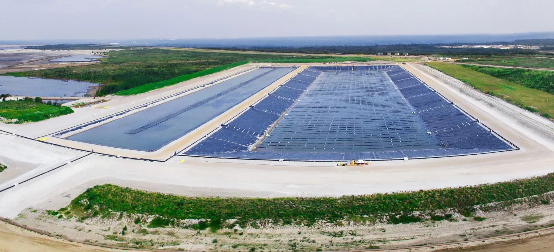
Energy security is the world’s biggest problem and we are helping by supporting the transition to cleaner energy.
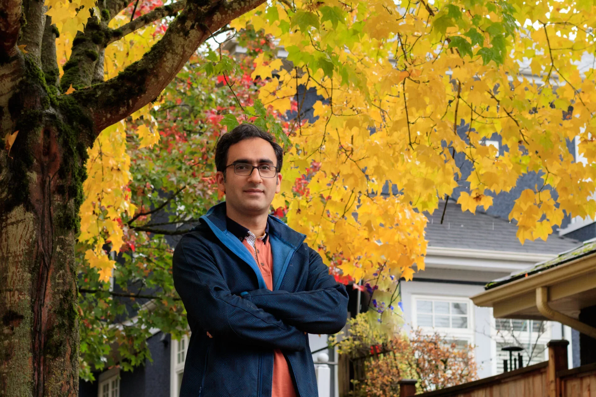
Ariel Torre, Co-founder and CEO, Impossible Sensing Canada


The tremendous response to this challenge demonstrates the level of partnership the oil sands industry has with leading innovators around the world.
Wes Jickling
Vice President, Technology Development, Pathways Alliance

Climate change is a critical challenge, and the oil sands industry has an essential role to play in reducing emissions. Our path to net zero will help our country achieve a sustainable future.
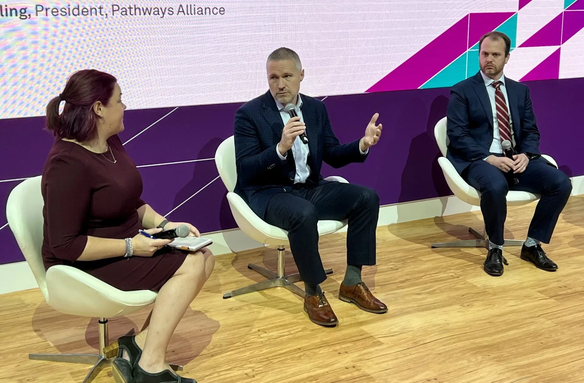
KENDALL DILLING, PRESIDENT, PATHWAYS ALLIANCE